Website Shows New York City Boundaries Over 250 Years
Manhattan Island Slowly Swallowed by the Big Apple
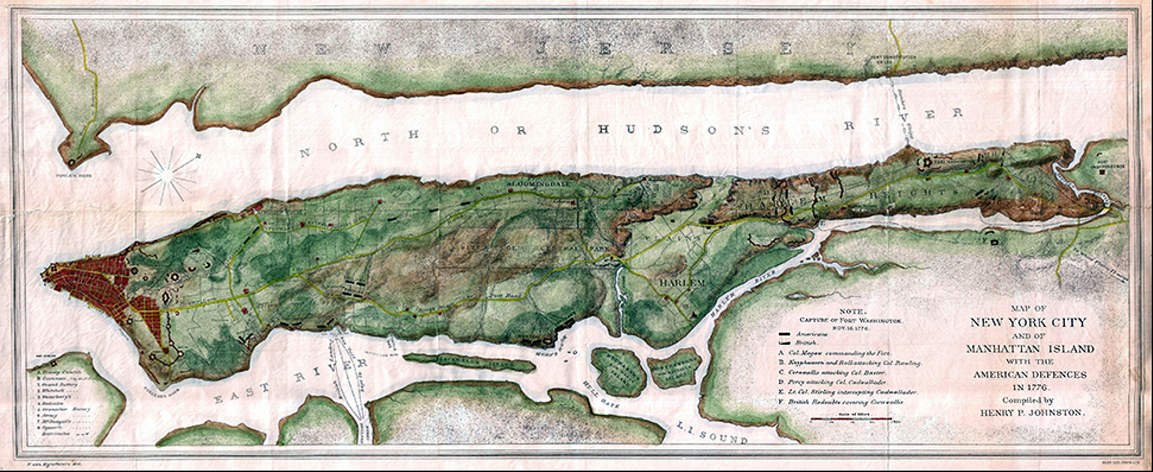
click to enlarge
The map above shows General Washington’s 1776 fortifications on Manhattan Island stretch from the southern tip at New York (left) all the way to the northwest tip and the hills that were later named Washington Heights (right) .
A series of similar maps is found on a very interesting webpage, which shows the expansion of New York City from 1660 to 2004.
See more HERE
This brought to mind David McCullough’s wonderful book, 1776, which takes an in depth look at that extremely important year in American history, and how it began with the revolutionary forces withdrawing from Boston, only to be soundly defeated at New York in the Battle of Long Island, but ultimately ending in the Washington’s daring attack at Trenton, New Jersey at the end of the year. Highly recommended.