Brilliant Detective Work at 4D Somme
Cartographers use the scarred landscape of France, World War I maps, and satellite imagery to plot the battlefield in stunning detail
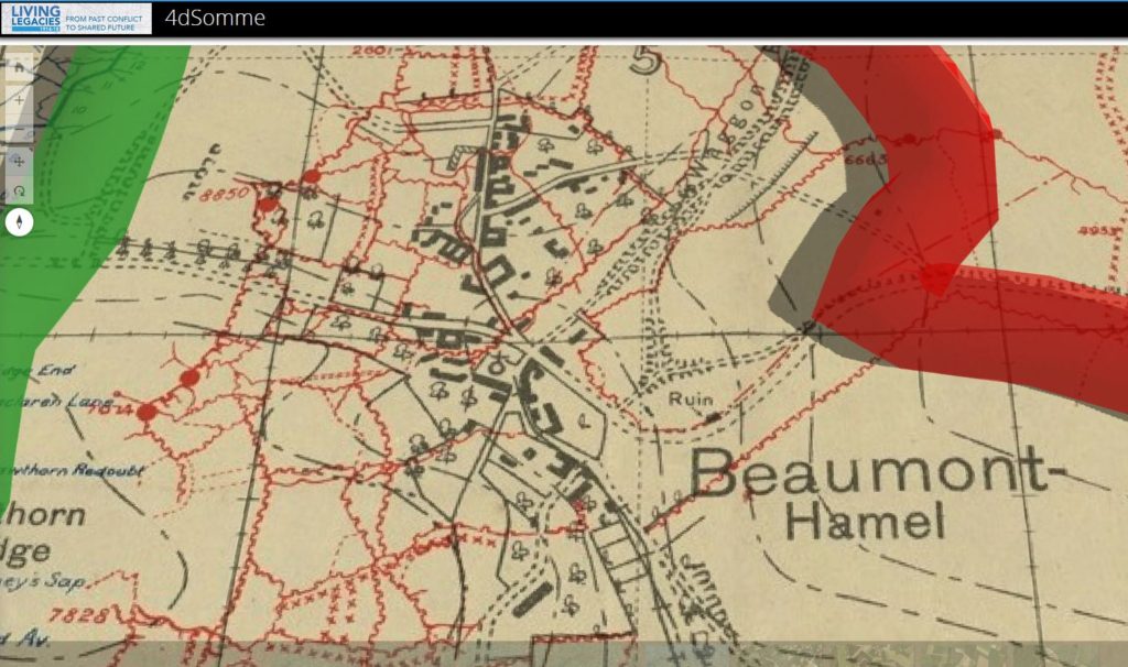
The website 4D Somme is dedicated to the British units raised in Ireland and Ulster, who saw considerable action during the battle of the Somme, which began on July 1, 1916, and ended nearly 5 months later, on November 18th.
But the overall imagery provided covers the entire battlefield.
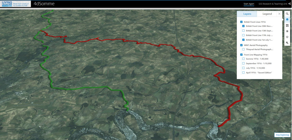
Above, the British lines at the start and end of the battle.
Hundreds of thousands died to move the front about 7 miles – over one million casualties in total among the British, French, and German forces fated to take part in arguably the most savage and costly battle in human history.
The satellite maps and the overlays taken from actual WWI strategic mapping can be zoomed into down to the individual village, trench, or observation post.
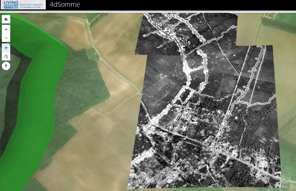
Above, actual reconnaissance photographs lined up perfectly where they were actually taken from aircraft similar to those operated by my maternal grandfather, who flew for the American forces father south near the end of the Great War.
While other sites go into greater detail about the people who fought and died along the River Somme in 1916, this site is entirely engrossing and highly recommended.
The 4D Somme full url is
http://queensub.maps.arcgis.com/apps/Cascade/index.html?appid=f0629347d5dc4d6987686f876eec5649