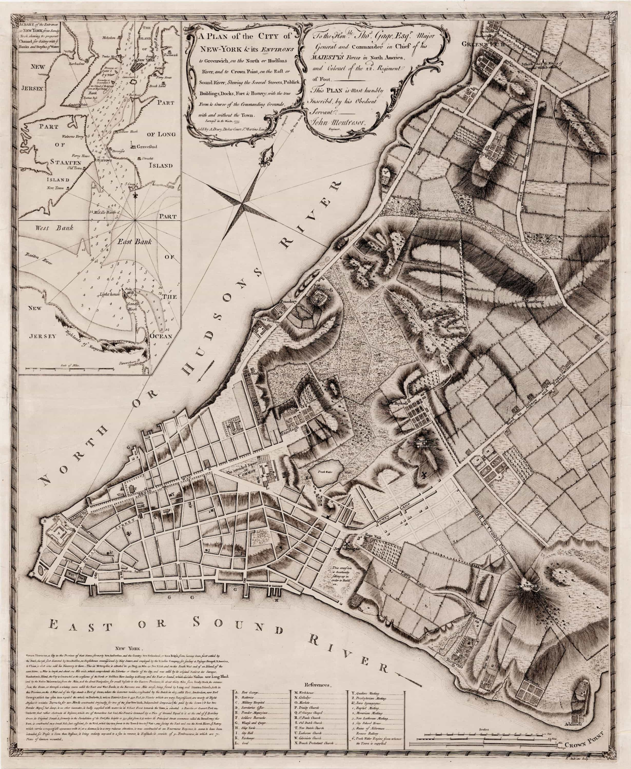
George Washington and New York City are Forever Linked
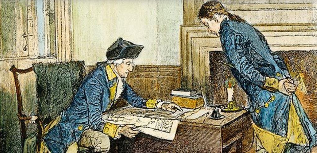
This map was used by Washington to plan the defense of New York City against British invasion
Click to Enlarge and Zoom In
Today is George Washington’s 289th birthday
First in war, first in peace, and first to have a birthday sale named after him, Washington expected the Battle of New York to be his first test as the new commander of the Continental Army during the American Revolution. His opponent, the Viscount Willam Howe, had other ideas.
Both commanders knew the city would have been destroyed had it been directly involved. But Washington used this map with the express purpose of fighting house to house in hopes of inflicting extensive casualties upon the much larger forces of the Crown.
Instead of a direct assault, Lord Howe landed his army outside of New York Harbor, on what is now Brooklyn, where the Battle of Long Island took place on August 27, 1776. Outnumbered and outflanked, it turned into a major defeat for Washington. But as historian David McCullough makes clear in his excellent book, 1776, it was Washington’s masterful series of strategic withdrawals that saved most of his army, and the future of the USA along with it.
The British commander repeatedly out-maneuvered the Americans before, during, and after the battle, so they were forced to withdraw further up Manhattan Island to the heights later named for General Washington. And then they skedaddled all the way across New Jersey to Pennsylvania. The city had been spared, only to have much of it burned to the ground in the Great Fire less than a month later, on the night of September 20.
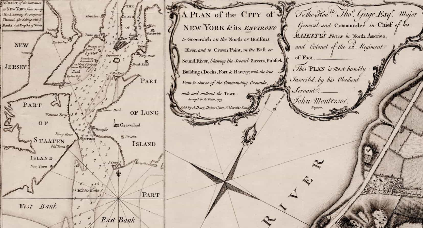
Originally drawn by British Army engineer John Montresor, the specific map Washington used is housed in the collection at Yale University Library.
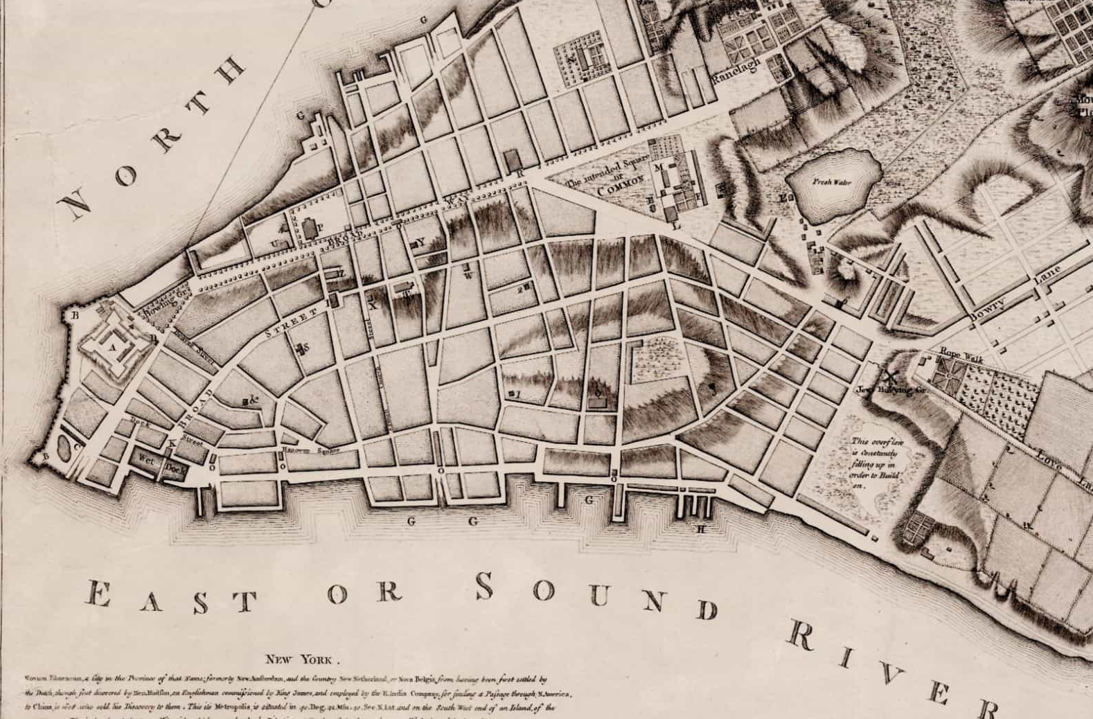
The City of New York in 1776. Broadway has 13 blocks (it is now 13 miles long.) What is City Hall today and its park were still an “intended square or COMMON.”
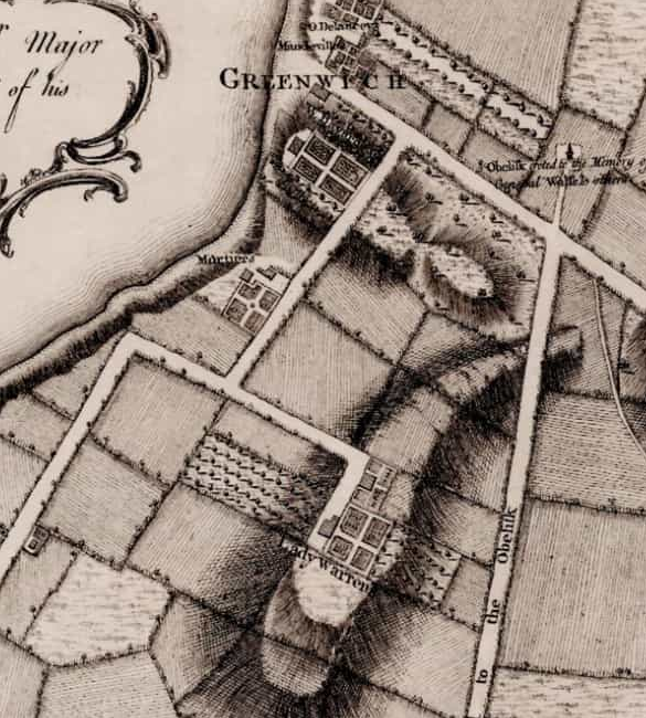
Part of Greenwhich Village and the estate of one Lady Warren (née DeLancey,) the recently deceased widow of the intrepid Admiral Sir Peter Warren of the Seven Years War with France, whose remains were interred in Westminster Abbey after an illustrious career in Parliament.
Never losing his nerve, George Washington survived to fight another day, and many other days yet to come, beginning with the surprise attack victory at Trenton, New Jersey, on Christmas Day, 1776.
Six years of savage fighting later, George Washington returned to New York to say bid farewell to his officers at Fraunces Tavern, which still stands at 57 Pearl Street. General Washington did not know he would soon return to the City of New York, the first national capitol of the United States America, were he served as its first President.
I first learned of this NYC map thanks to the very cool article in Smithsonian Magazine on Washington’s personal map collection, in November of 2010, currently available on line at the link below.
https://www.smithsonianmag.com/history/george-washington-and-his-maps-72194830/